Gulf of Mexico Marine Assessment Program for Protected Species (GoMMAPPS)
Aerial Seabird Surveys
|
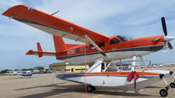
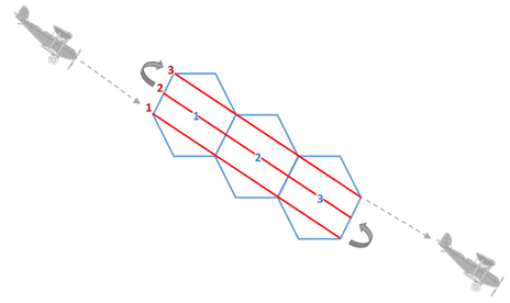
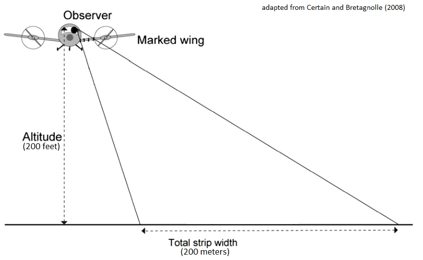
We use USFWS Kodiak amphibious aircrafts to conduct low-level strip transect surveys in the nearshore (within 50nm) environment in the Gulf of Mexico from the USA-Mexico border near Brownsville, TX to Key West, FL including the Dry Tortugas. Full surveys are conducted twice a year, in winter and summer. We use the EPA's 40km hexagon grid as our base unit. Each surveyed unit is comprised of a central hexagon, with the associated neighboring hexagons selected at random. Pilots fly three equally spaced transects through the hexagons, with both the pilot and observers counting birds within 200 meters on either side of the plane. See more images on our Flickr page and learn more about the project here: GoMMAPPS.
|
|
Aerial Survey Design
|
|
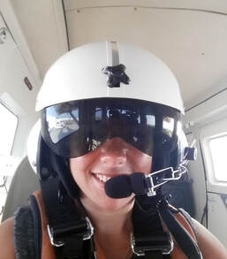
February 2020 N701 Survey Crew
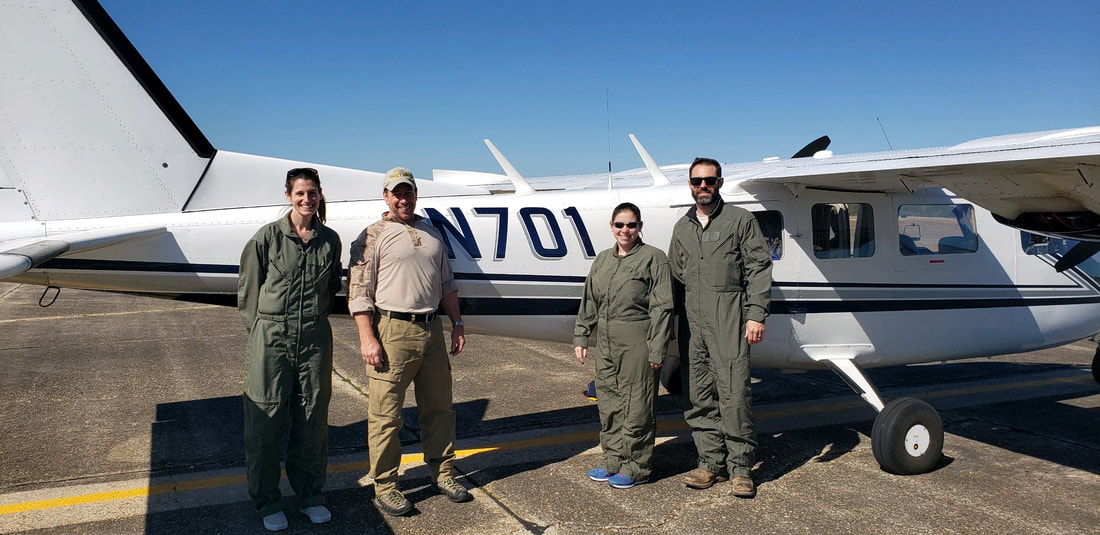
Kayla Davis (MSU), Jim Wortham (USFWS), Allison Sussman (USGS), Nick Wirwa (USFWS)
July 2018 N708 Survey Crew
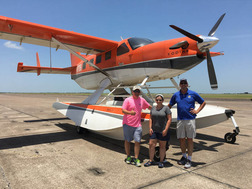
Wade Harrell (USFWS), Allison Sussman (USGS), Steve Earsom (USFWS)
Last updated March 2022.
